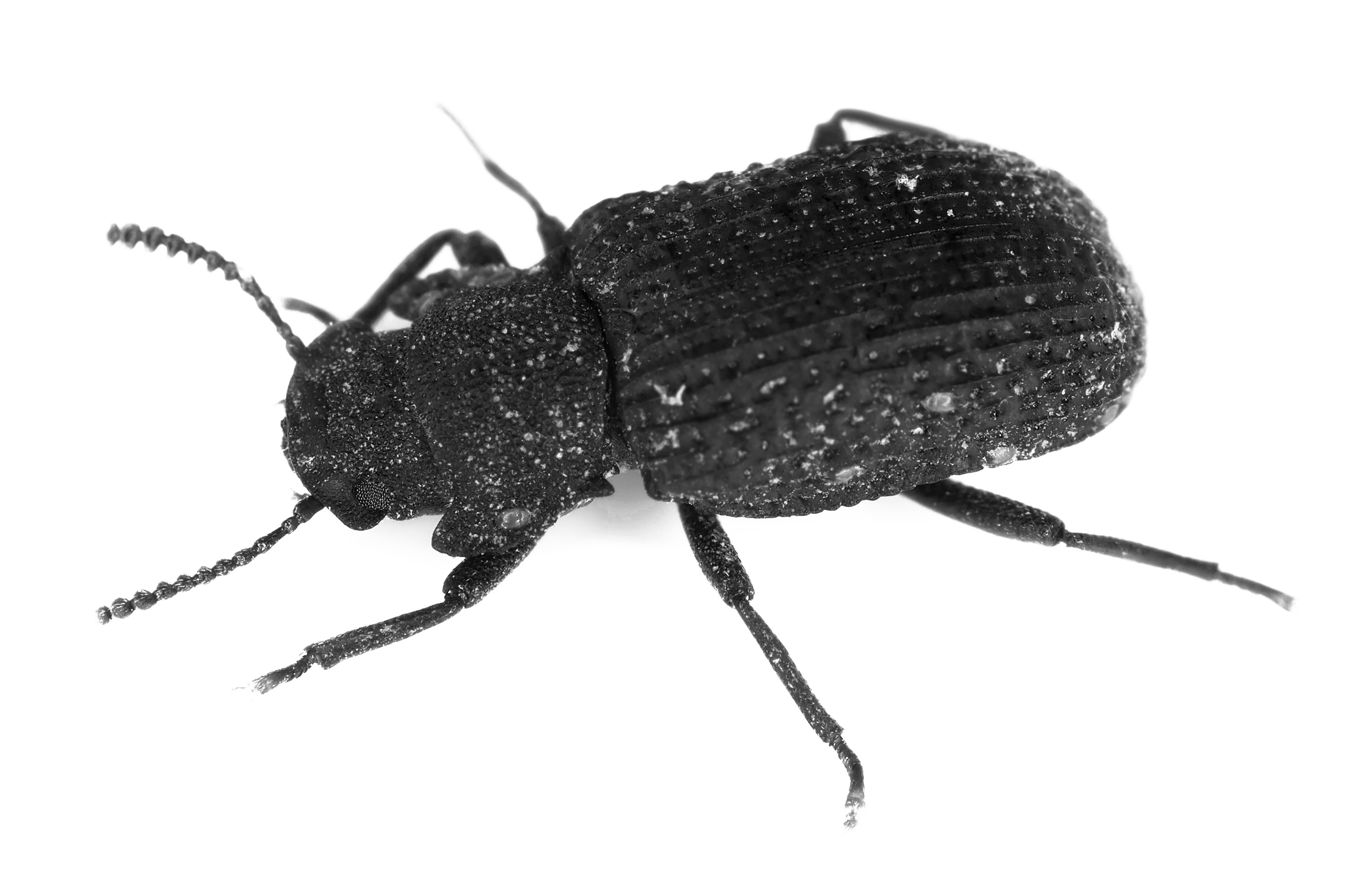
It’s dark. Vegetal decay hangs thick in the air, trapped beneath the rotting innards of a felled beech tree. You wedge the hard shell of your exoskeleton through softening pulp, legs clicking in rhythm with each other. Chemosensors on your antennae and mouthparts ping with a steady stream of information, and you toodle your little coleopteran body around to eat bits of dead tree that bring you a delightful gustatory sensation. You’re a saproxylic beetle living in the underbrush of a temperate European forest—voracious, oblivious, forever scanning the world at hand for snacks, sex, and danger.
Above you in the heavens, satellites whir around the planet like a buzzing horde of gnats. You could never know this, in your decaying log, but some of those satellites are watching you.

In the face of harrowing losses of species, researchers around the world are trying to assess the state of the planet’s biodiversity on a large scale. They have to work fast: habitats are rapidly being destroyed by commercial development and climate change. It’s estimated that at least a million species will face extinction within the decades to come, half of them insects. Beetles alone make up anywhere from a quarter to a third of all known animal species, and possibly even more than that. And without insects, entire food chains collapse. There are no summertime tomatoes or winter squash without pollinators, no gentle removal of dead animals without the dermestid beetles that attend them. The planet would fill up with rot and decay. Without insects to function as the mobile arm of many plant reproductive strategies, humans would starve.
But there is a glimmer of hope in an unexpected place: space. And it doesn’t require fancy sensors or expensive new satellites. As researchers from the University of Würzburg reported in a 2019 paper in Nature Communications, “Radar Vision in the Mapping of Forest Biodiversity from Space,” it turns out that freely available radar data can be used to figure out where even the smallest insects live.
To make this work, scientists first perform comprehensive “ground truth” studies. They take a thorough look at just which insects are living in an area, attracting them using bright lights or setting out pitfall traps to lure and contain them. From these biological field surveys, they build up a picture of insect biodiversity. Then they feed that data to a machine-learning algorithm, along with radar and lidar data from satellites that have scanned the same area. This trains the algorithm to correlate variables like an area’s species richness and species composition with specific patterns in satellite images. These patterns are not necessarily apparent or comprehensible to the human eye. So while we might look at images from the Sentinel-1 satellite and see interesting pixels on a screen, the algorithm can look at those same pixels and, based on what it has learned from other inputs, make predictions about the distribution of species in the place it’s surveyed. If the imaging ticks the boxes for a specific degree of forest maturity, researchers could then infer insect diversity from what they know of similar forests.
At least a million species will face extinction within the decades to come, half of them insects. And without insects, entire food chains collapse.
For humans to survive into the future, we need to know where biodiversity loss is happening the fastest. Monitoring it in insect species will help researchers and policymakers formulate a plan of action. Since the start of the industrial era, it is likely that around 5% to 10% of all insect species have gone extinct. In the last 25 to 30 years alone, 80% of insect biomass on the planet has vanished.
But not you, little beetle. Not yet, anyway.


